14 May
In our previous installment we set aside talk about Spanish School and Surf in Fuerteventura and focused on the awe-inspiring activity that is hiking.
I introduced the GR-131, the Canary Island’s longest hiking trail, focusing on the Fuerteventura section of the trail. As I documented, Stage 1 of this section runs through the entirety of the neighboring islet of Lobos. Now I’ll talk about stages 2 and 3, the first two stages on the mainland. Enjoy:
Stage 2: Corralejo & La Oliva
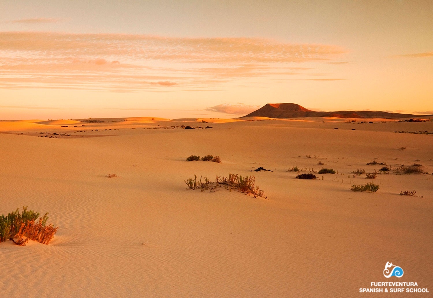
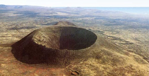
The second stage of GR-131 has a length of almost 25 km and will take us from the center of the town of Corralejo until La Oliva, crossing various, gorgeous volcanic formations. We’ll pass through the volcanos of Bayuyo, Calderón, Hondo and the Natural Monument of Malpaís de la Arena, before arrving at the municipality’s capital.
We start our journey at Plaza Patricio Calero and head towards Juan Carlos I Avenue, here we turn left and travel along this avenue until we reach a roundabout which houses the sculpture of a sail boat with different sports represented. Our path continues through the first exit on the right and after a few meters, at the second street. we turn right again, then we head up towards a municipal water tank. Look back at this point and you’ll be surprised at how close the neighboring island of Lanzarote is, as well as the Island of Lobos, a tiny islet dwarfed by the Atlantic Ocean island, which accentuates its beauty.
We continue our way through the badlands, created by eruptions from the Bayuyo chain of volcanoes. We walk along this volcanic alignment up to the foot of the CalderaRebanada (Sliced Caldera), where our hiking trail crosses that of the SL-FV 2-Lajares Calderon Hondo. We advance down a smooth path around the Caldera Rebanada and which leads us through Juanita street, towards the village of Lajares. At the crossroads of The Cascajos and Majanicho streets, our trail again coincides with the SL-FV 2, and carry on together to Lajares’ football field, at which point the SL-FV 2 ends and our stage continues.
We then cross the local highway and access Los Quemados street, which we’ll continue until its end, where we turn left. We will leave behind the last of the houses to enter a characteristically volcanic landscape. We continue down the hillsides of Tejate to the Natural Monument of Malpaís de la Arena, badlands that are practically covered by lichens. Then we cross the badlands to get into the town of La Oliva, namely the street Las Navajas, until we reach a crossroads. On our right we find the “Casa Inglés” (English House), an example of rural island bourgeoisie housing in the eighteenth century. Finally, we turn to the right to take the local road.
Stage 3: La Oliva & Tefía
The 3rd stage of GR-131 hiking trail’s pass through Fuerteventura measures just over 16 kilometers and starts at the church of Our Lady of La Candelaria, in La Oliva, heading towards the Sacred Mountain of Tindaya and ending in the hermitage of San Augustine Tefía.
To begin this stage we’ll walk to Orilla street, in La Oliva, and we turn left down La Nobleza street, which we traverse until reaching a crossroads with a gas station. After crossing the local road we head for the first street on the right and walk to the end it.
Once here, we turn left to reach an open space where the way turns westward on a dirt road towards the Tindaya Mountain. The dirt road crosses an unused agricultural area.
We the follow the trail down the ravine of La Oliva Mountain, which will take us to the Sacred Mountain of Tindaya, which we’ll border on its west side, and at its base begins the path up to the summit. In the vicinity of Tindaya we find a group of Canary Island palm trees, tamarisks and agave plantations.
The 3rd stage of the GR-131 continues towards the village of Tindaya. To access this village we take Virgen de La Caridad street, which will take us to the Ermita (Hermitage) de Tindaya, located next to the main road. Here, the road turns right, which is the starting point of the hiking trail, PR-FV 9 Tindaya-Vallebrón-Tefía. Our road goes right through the town until it reaches the “Casa Alta de Tindaya”.
The road now takes a turn southward along another dirt road that leads to the Burnt Mountain, on whose side we find the white statue of famed Spanish author, Miguel de Unamuno. The trail continues to the left, passing the Holy Lily and arriving at the “Barranco del Risco” where we cross the local road FV-207.
We walk for one kilometer towards the east and turn right to reach the “Casa del Cordobes”, where our Stage 3, once again, merges with the PR-FV 9 trail and continues south, between the “Tablero de la Avutarda” and “Rincon de la Hija”, until it reaches the village of Tefía. We’ll access the village through the crossroads and then turn left. Then we take the second road on the left which leads us to the “Ermita de San Agustin”, which marks the end of Stage 3.